“Big Willy” aka Mt. Williamson
Mount Williamson: A Spring Climb Through Snow and Sun
15-17 April 2024
Mount Williamson (14,375') – Sierra Nevada, California
From Desert Dreams to Sierra Summits
The idea to climb one of California’s snowy giants came to life in a place as opposite as you can imagine—the scorching, 100+ degree Colorado Desert. Back in October 2023, I was working on the Colorado River with old friends Jackson and Max when the idea of tackling a big mountain together first surfaced. We all had scattered schedules and summer obligations, so a winter or spring mission made sense.
The plan changed as most good ideas do—first it was Mexican volcanoes, then ski mountaineering in Colorado. Both fizzled out. But the ember of that idea stayed warm. Then in March 2024, Max and I reconnected in Joshua Tree. Over beers at a bar in Twenty-Nine Palms, Mount Williamson came into focus. The date? Mid-April. The plan? Simple—go climb one of California’s highest peaks. When Jackson later told us he’d be in town for a WFR recert, we finalized the logistics.
Gear Piles and Desert Trailheads
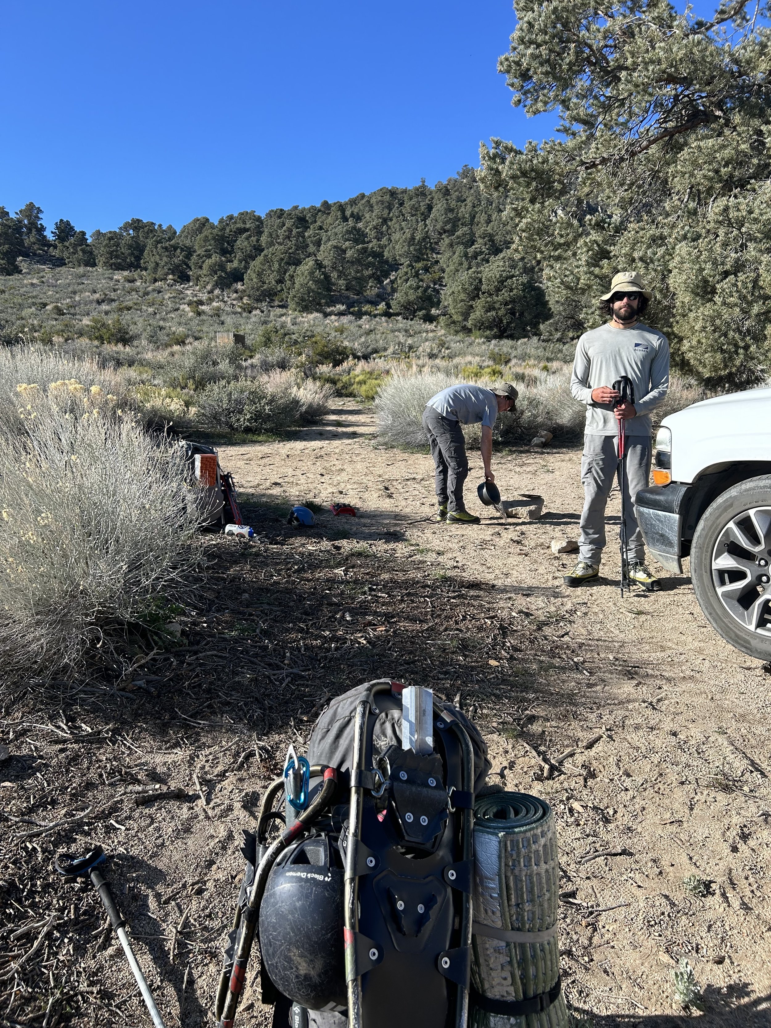
April 14th arrived in a blur. The three of us were now in my living room outside of Bishop, surrounded by a chaotic but thrilling spread of gear: crampons, axes, snowshoes, and yes, a rope. With CCR playing on the stereo and the Palisades glowing out the window, we did our final packing. That night, we camped at the Symmes Creek trailhead—8,000 vertical feet below our goal.
April 15 – Into the Wild
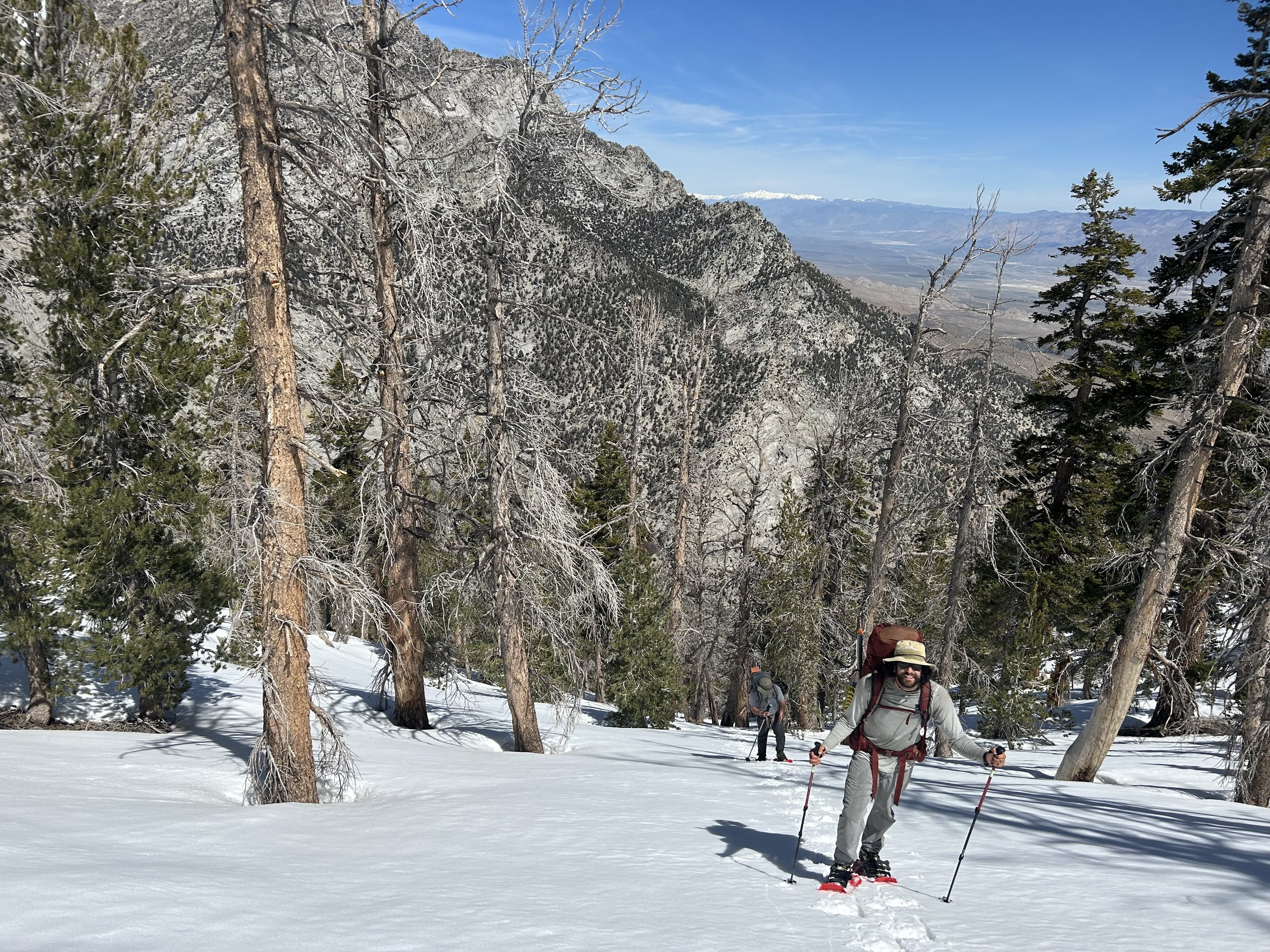
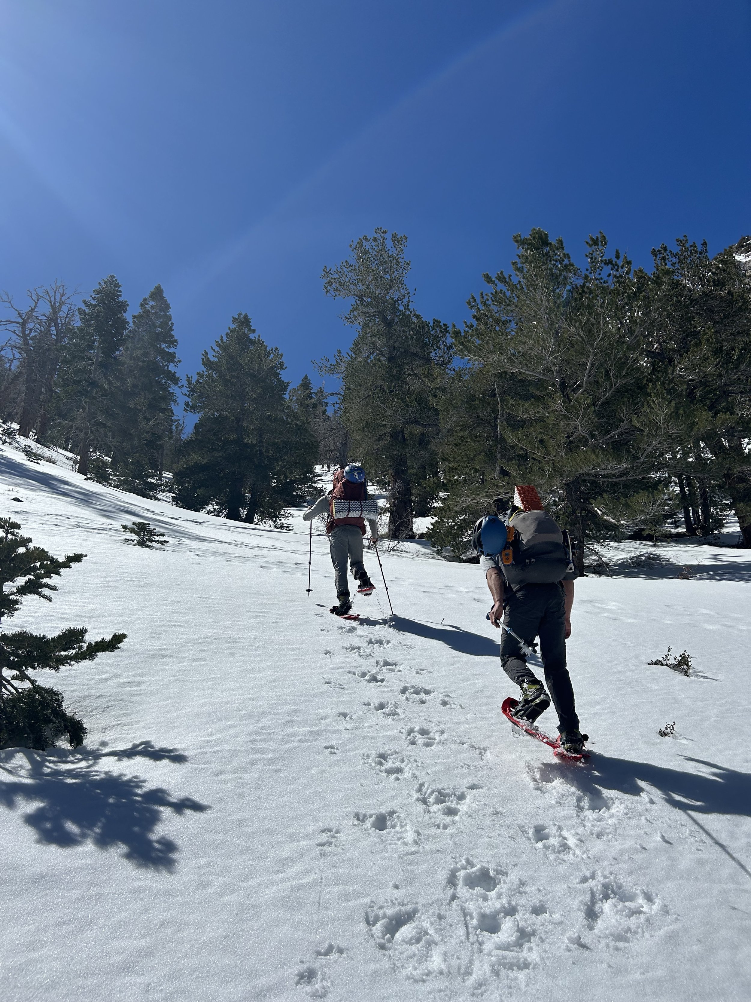
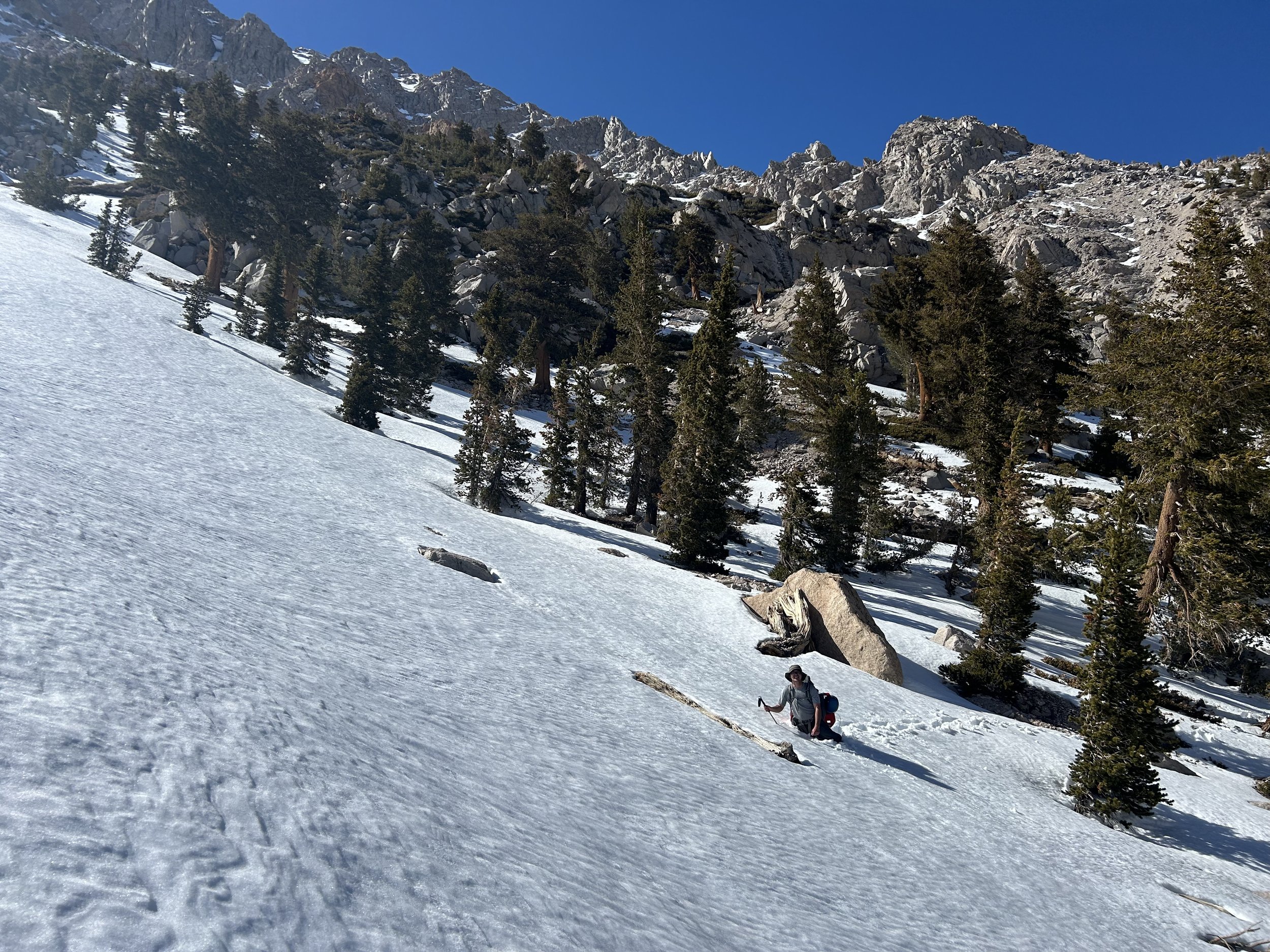
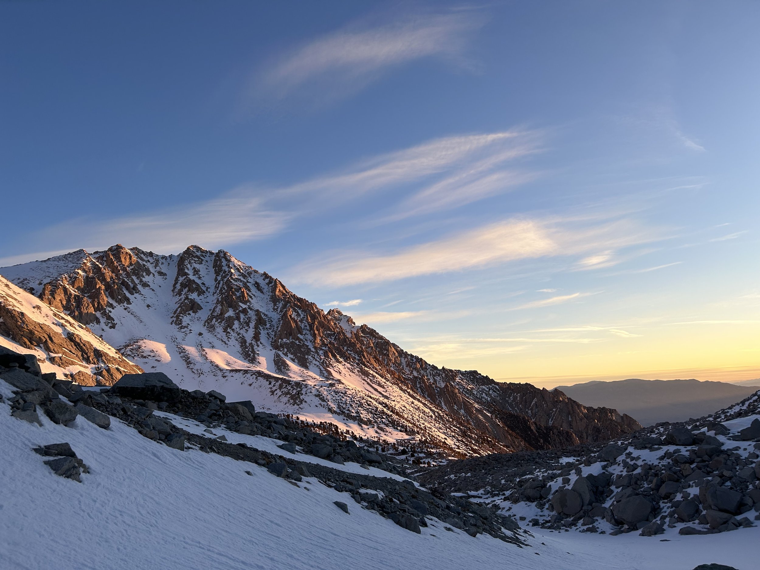
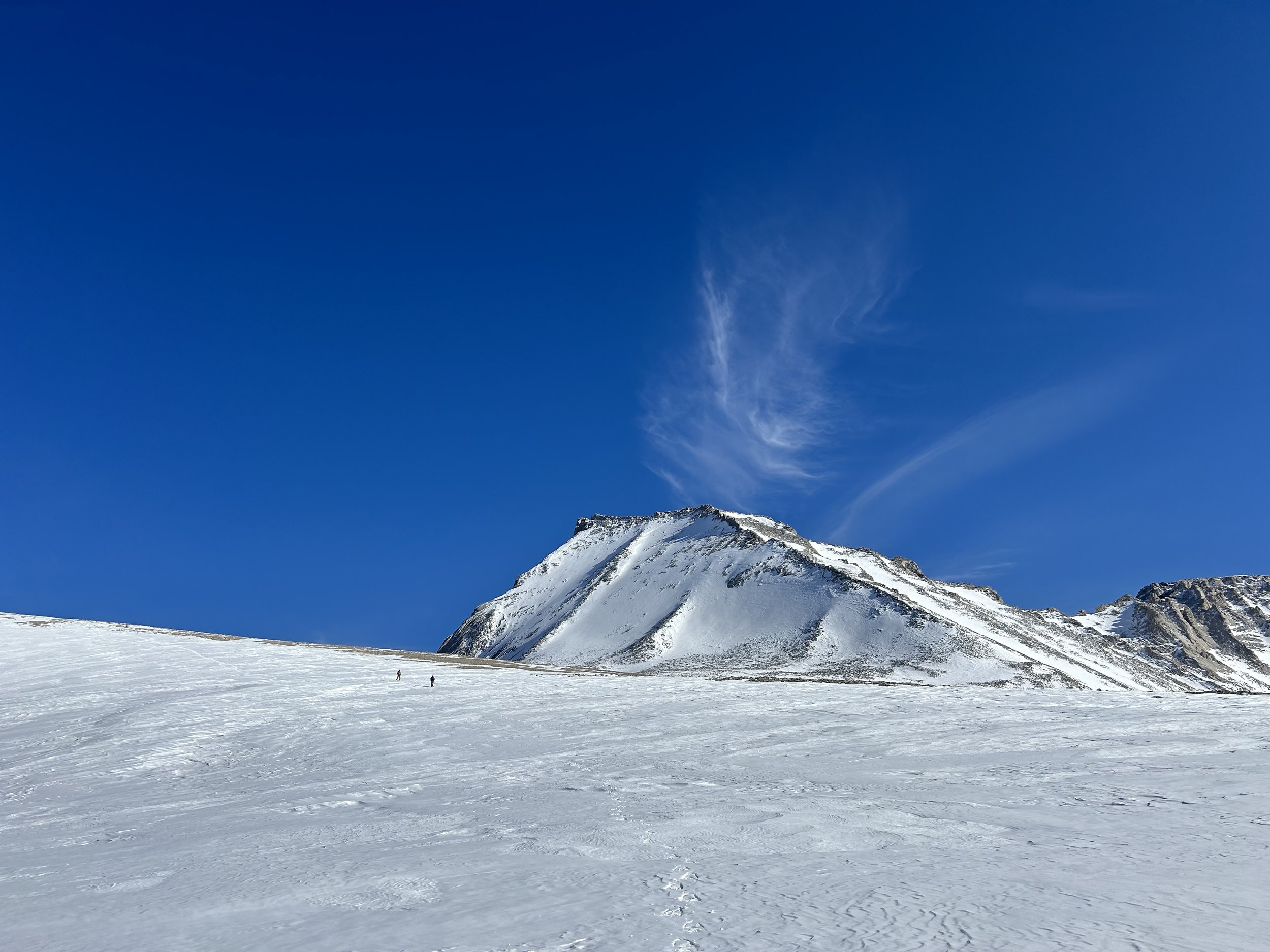
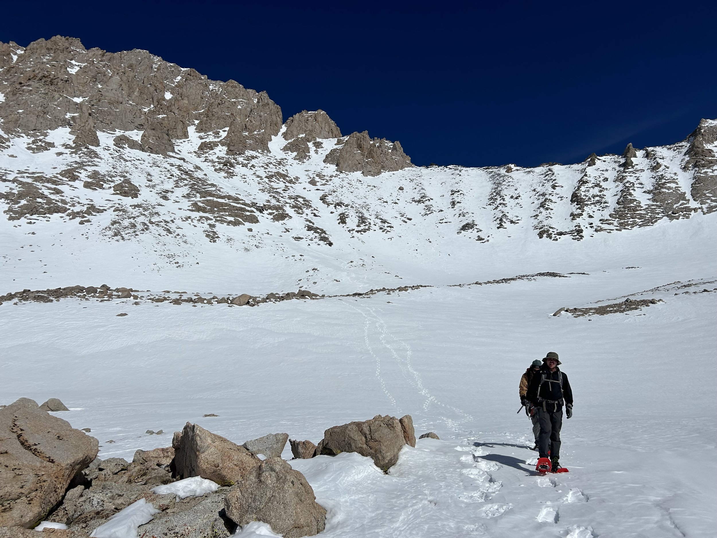
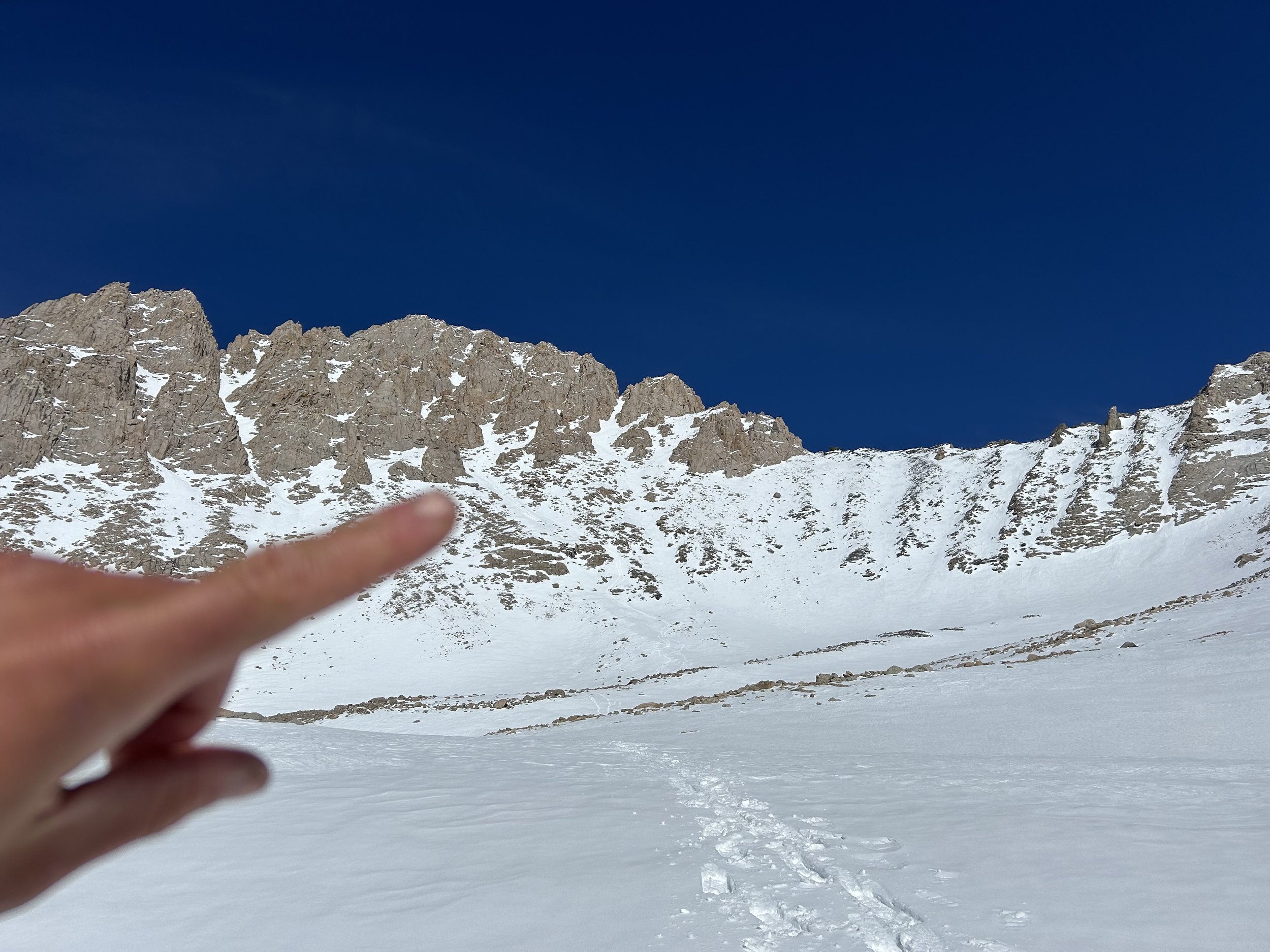
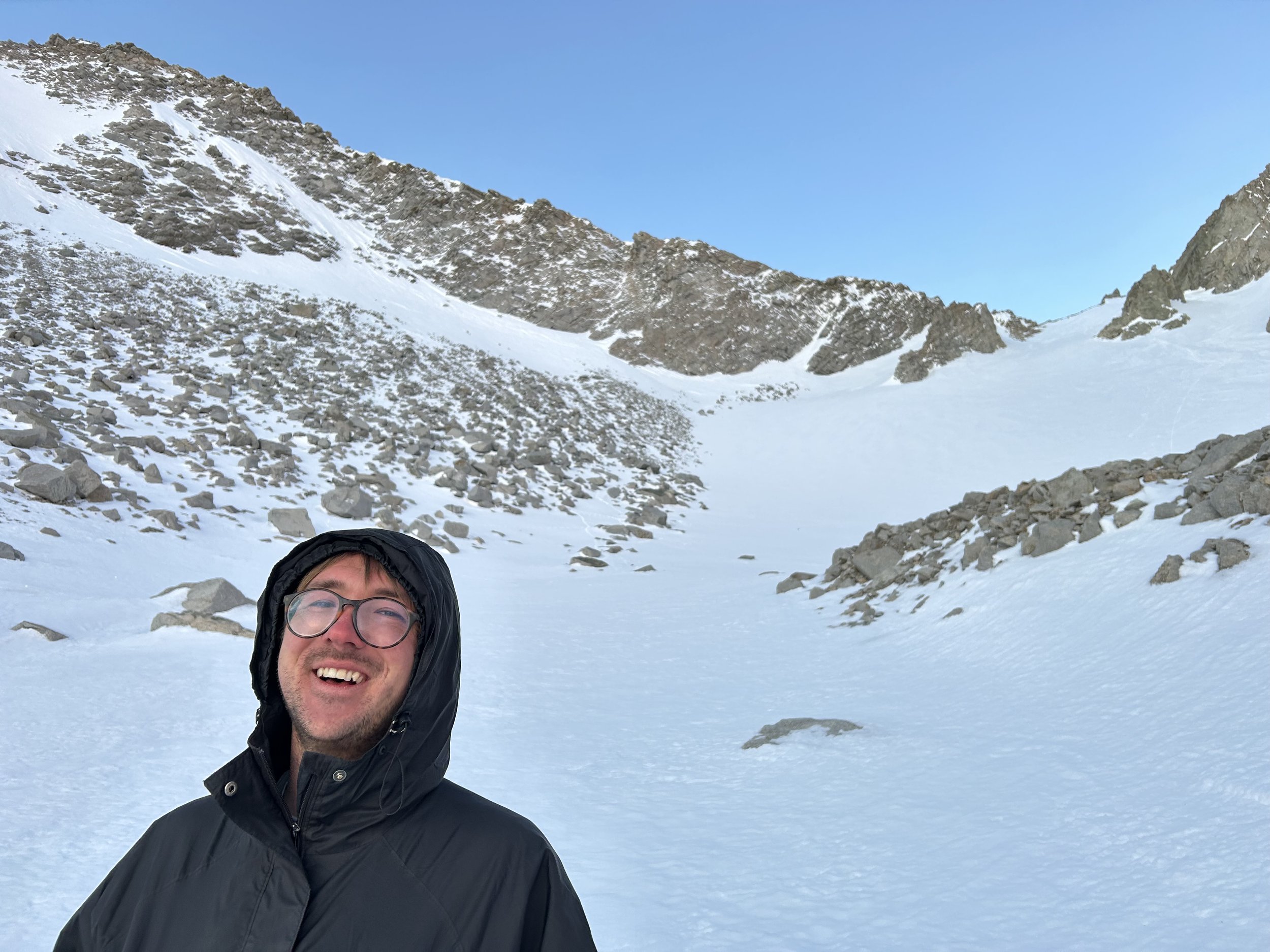
We woke to perfect blue California skies and hit the trail from 6,300’. Not far in, we were already detouring through massive washouts—remnants of last year’s heavy winter. By 8,000’, snow had buried the trail, so we broke out the snowshoes. Trailbreaking was tough, especially through soft snow, but we made steady progress and gained the Symmes saddle. Our first full view of Mount Williamson left us equal parts inspired and daunted.
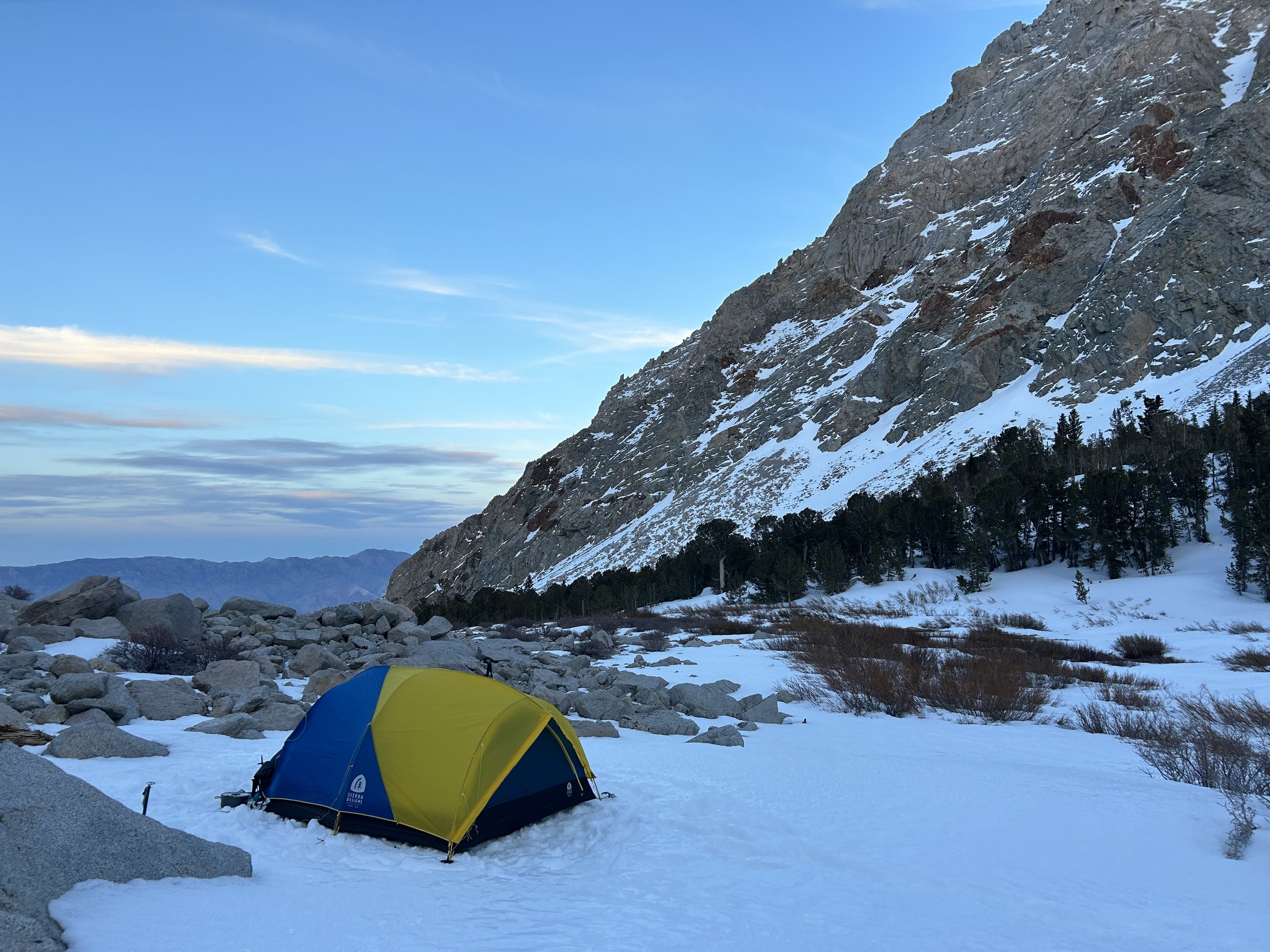
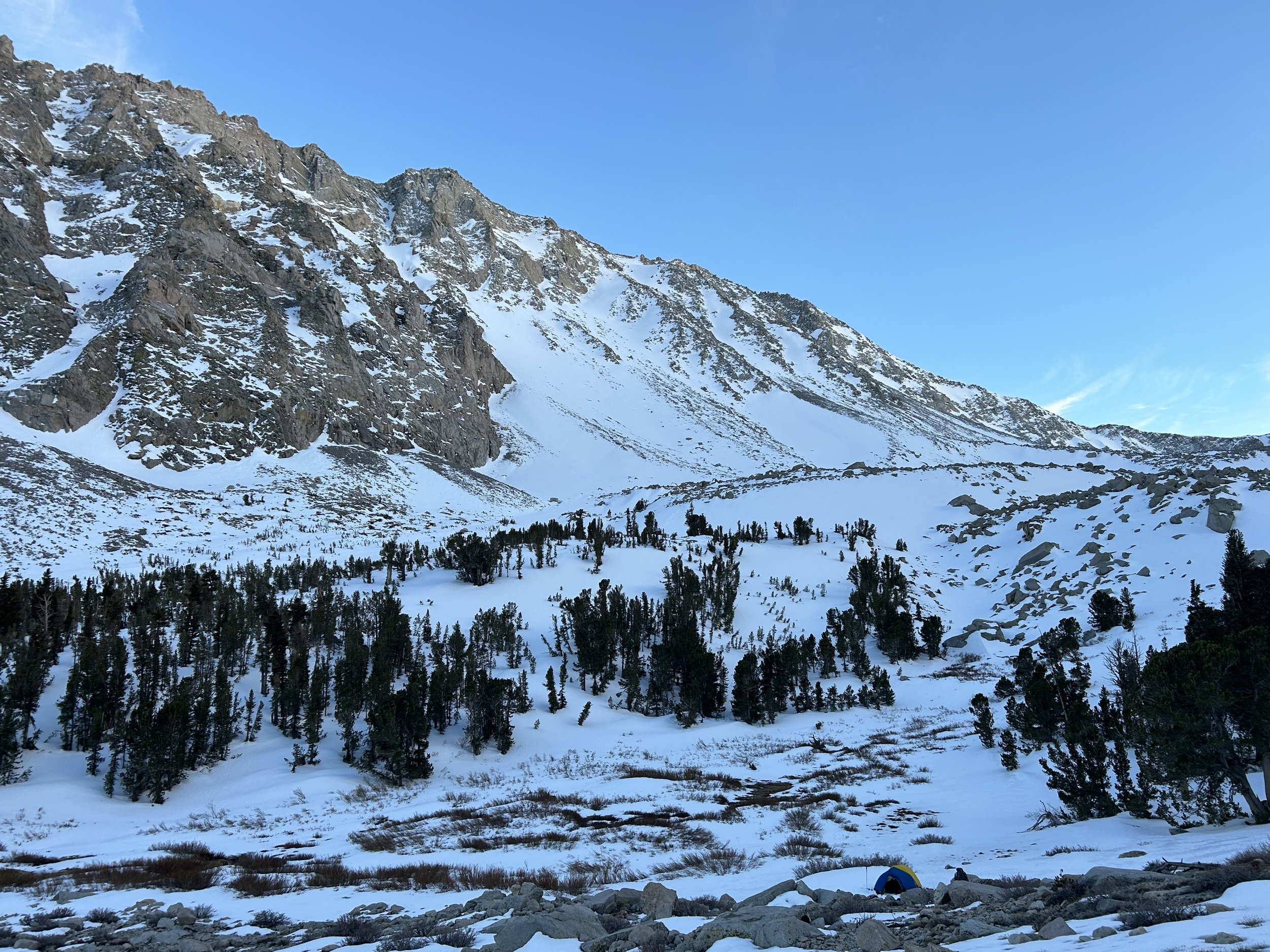
The trail from there was snow-free for a while, but around 10,000’, deep spring snow slowed us down again. We reached Anvil Camp just in time to watch the sun set over the Owens Valley. With dinner cooking, we prepped our gear for the summit push. Crampons adjusted, ropes coiled, water melting—everything ready. As the stars emerged, so did a quiet anticipation.
April 16 – A 13-Hour Summit Day
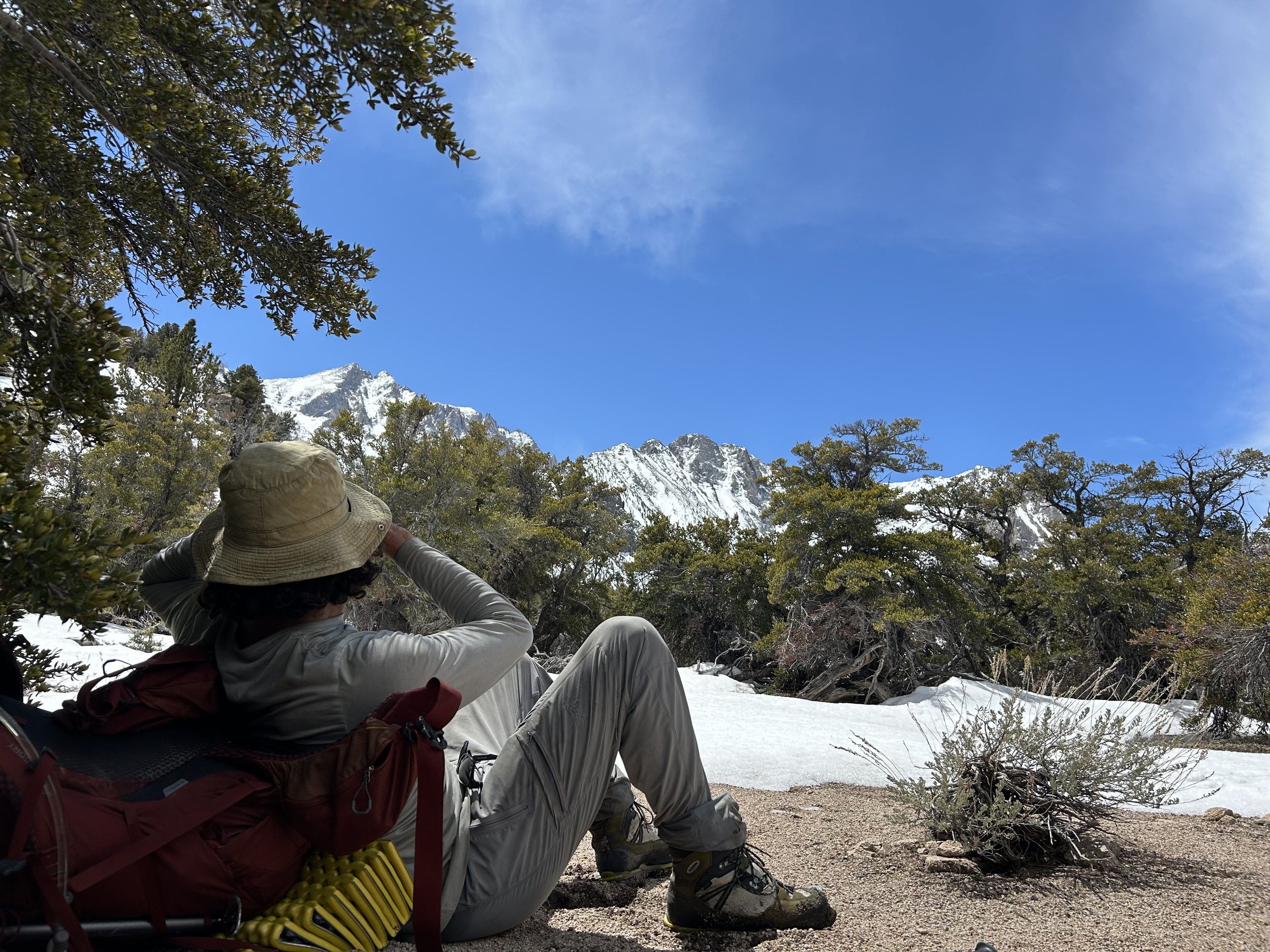
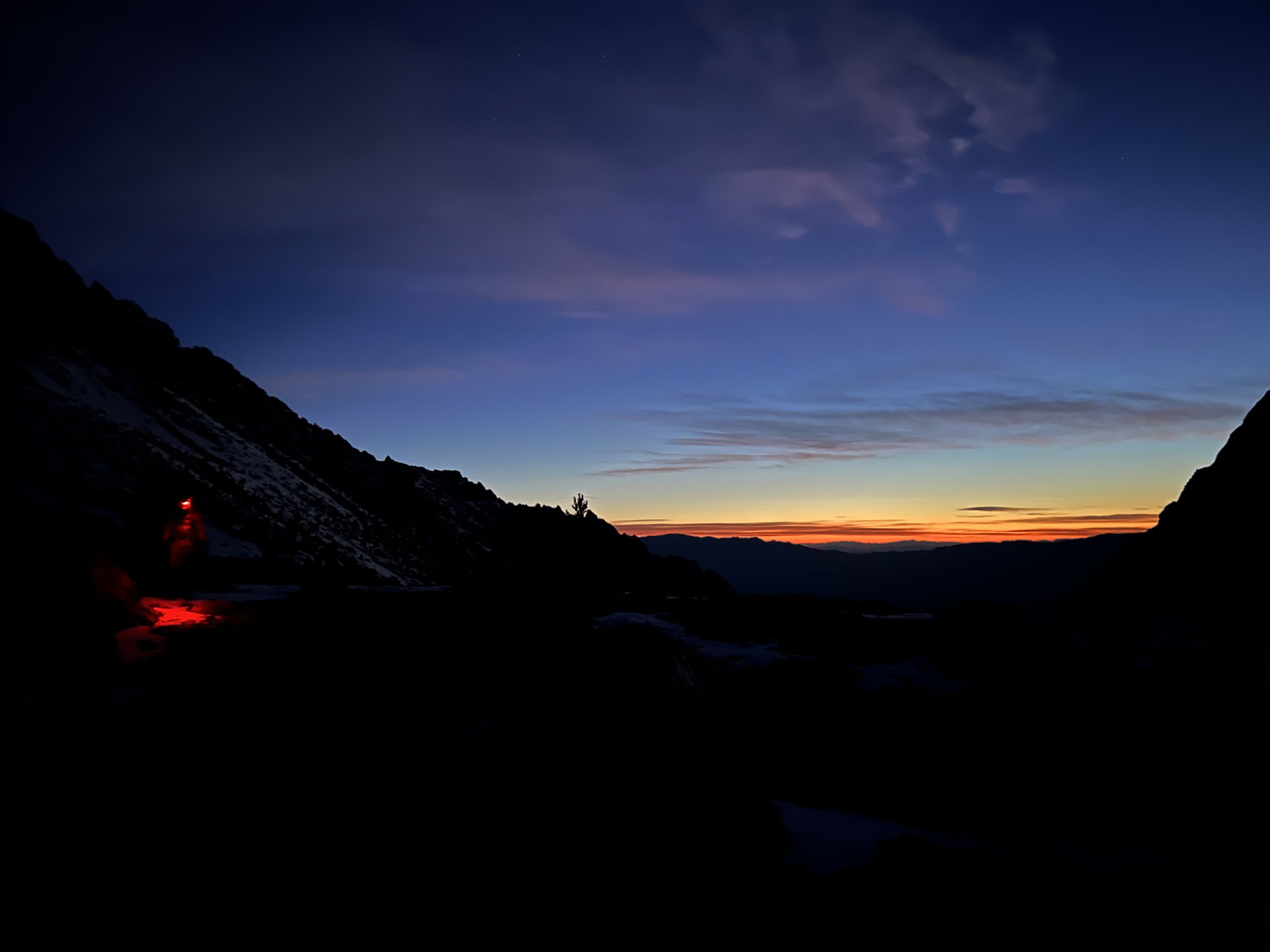
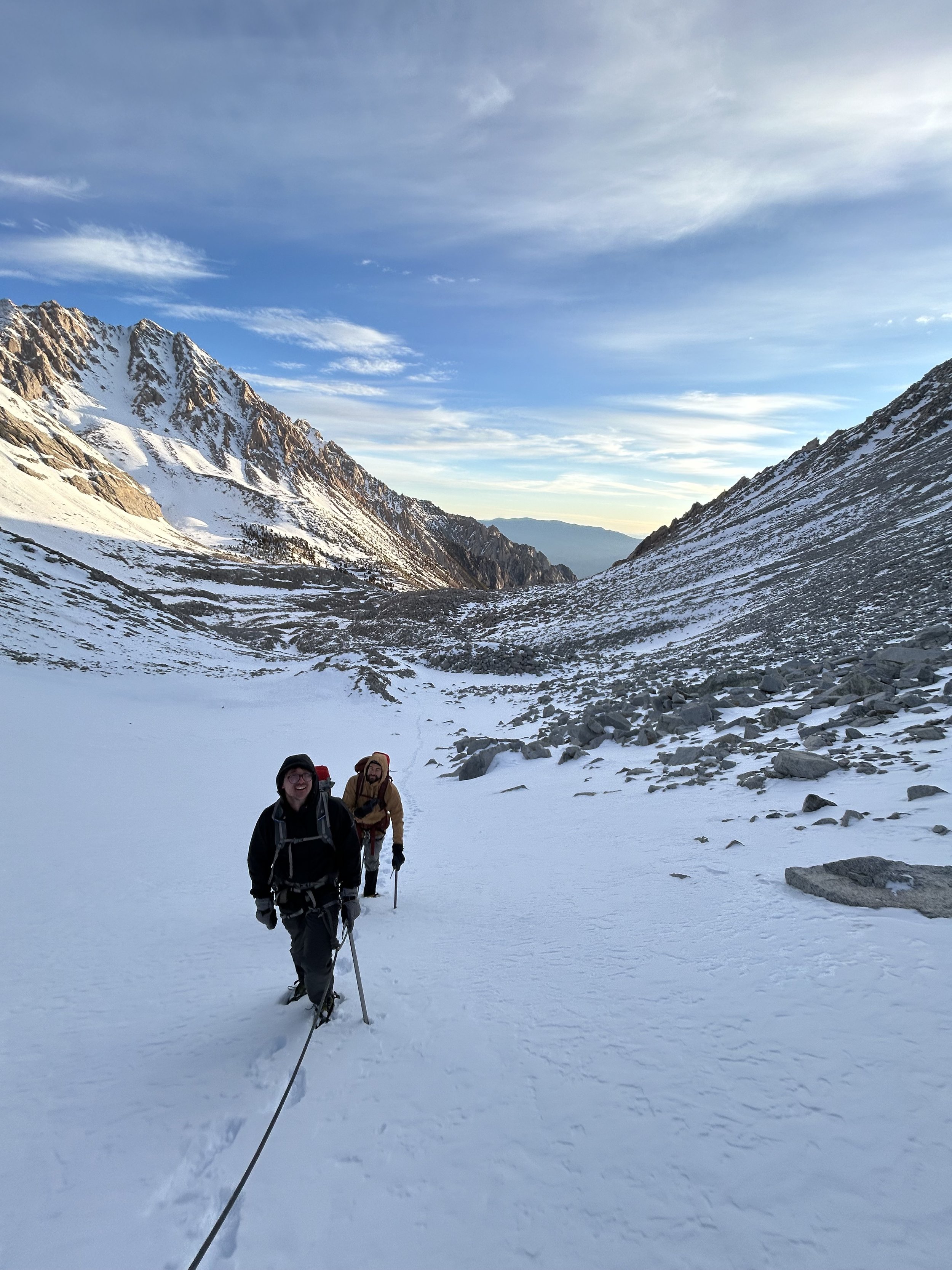
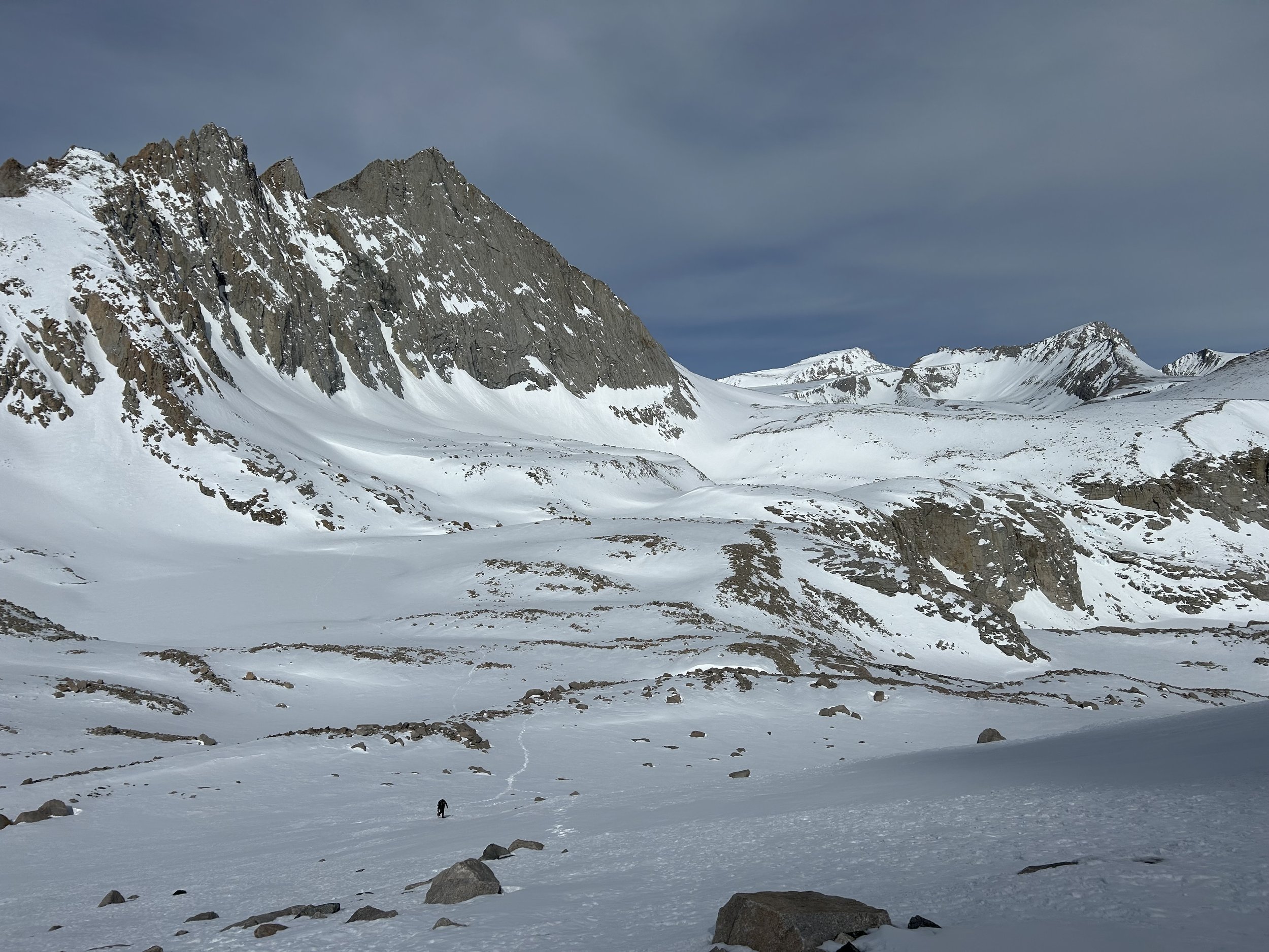
3:00 AM: The wind was crisp, and snow conditions were just what we hoped—firm and fast. We navigated by headlamp to the base of Shepherd Pass, where we roped up for the steep climb. At sunrise, we reached the pass and entered Kings Canyon National Park. The alpenglow on the Great Western Divide was a sight to behold, but our eyes were set on Williamson.
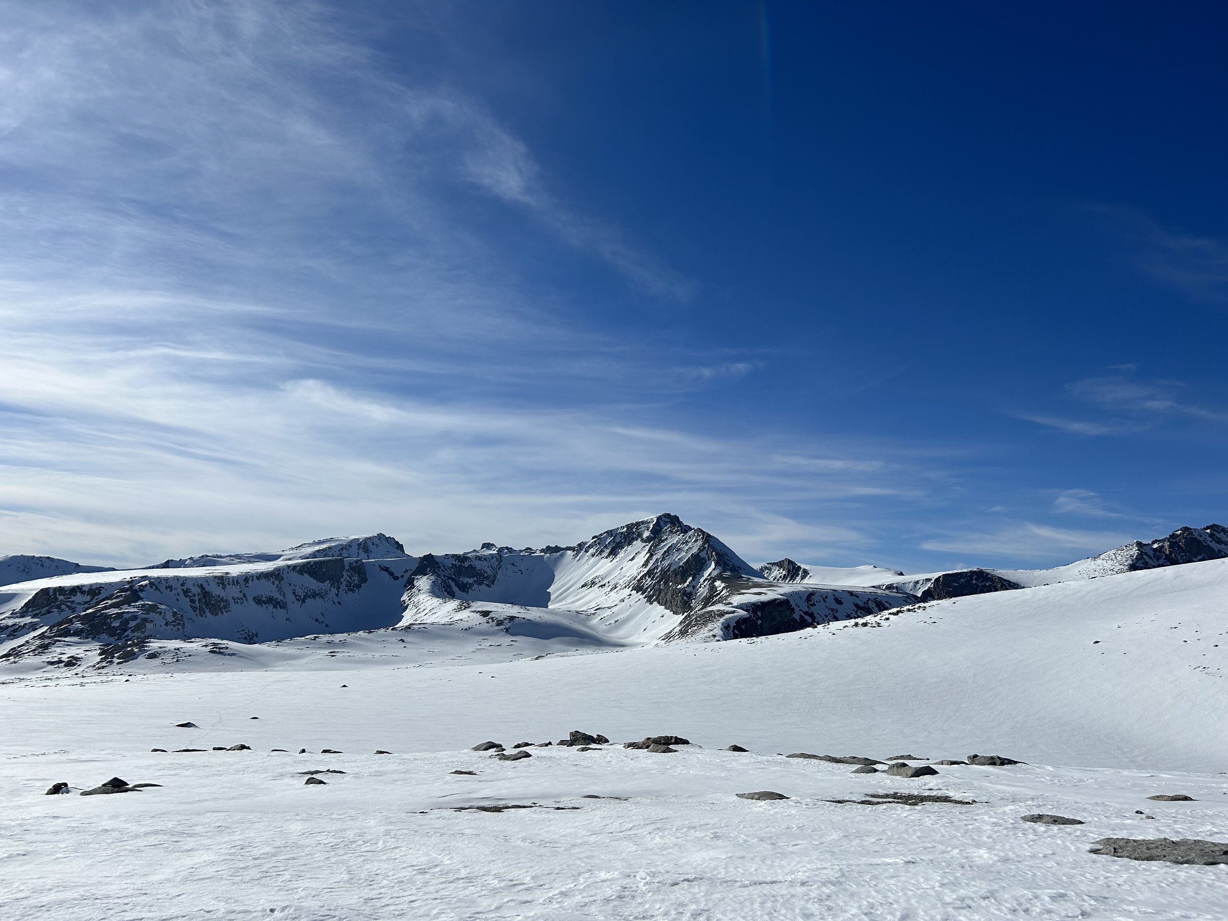
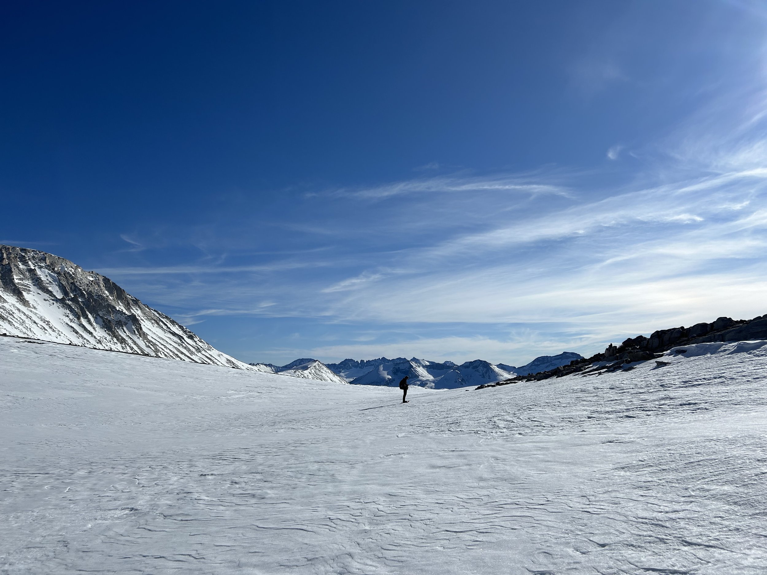
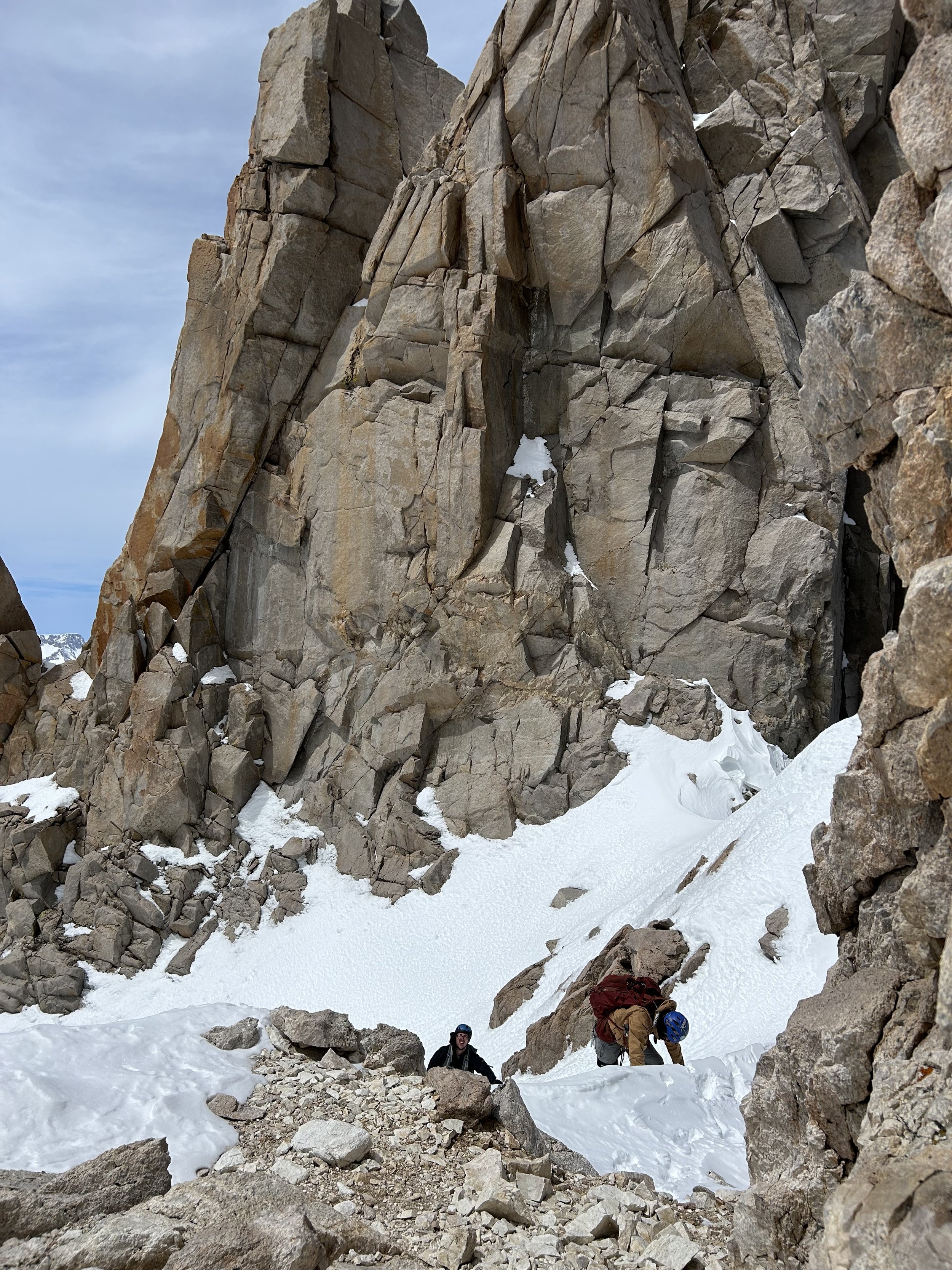
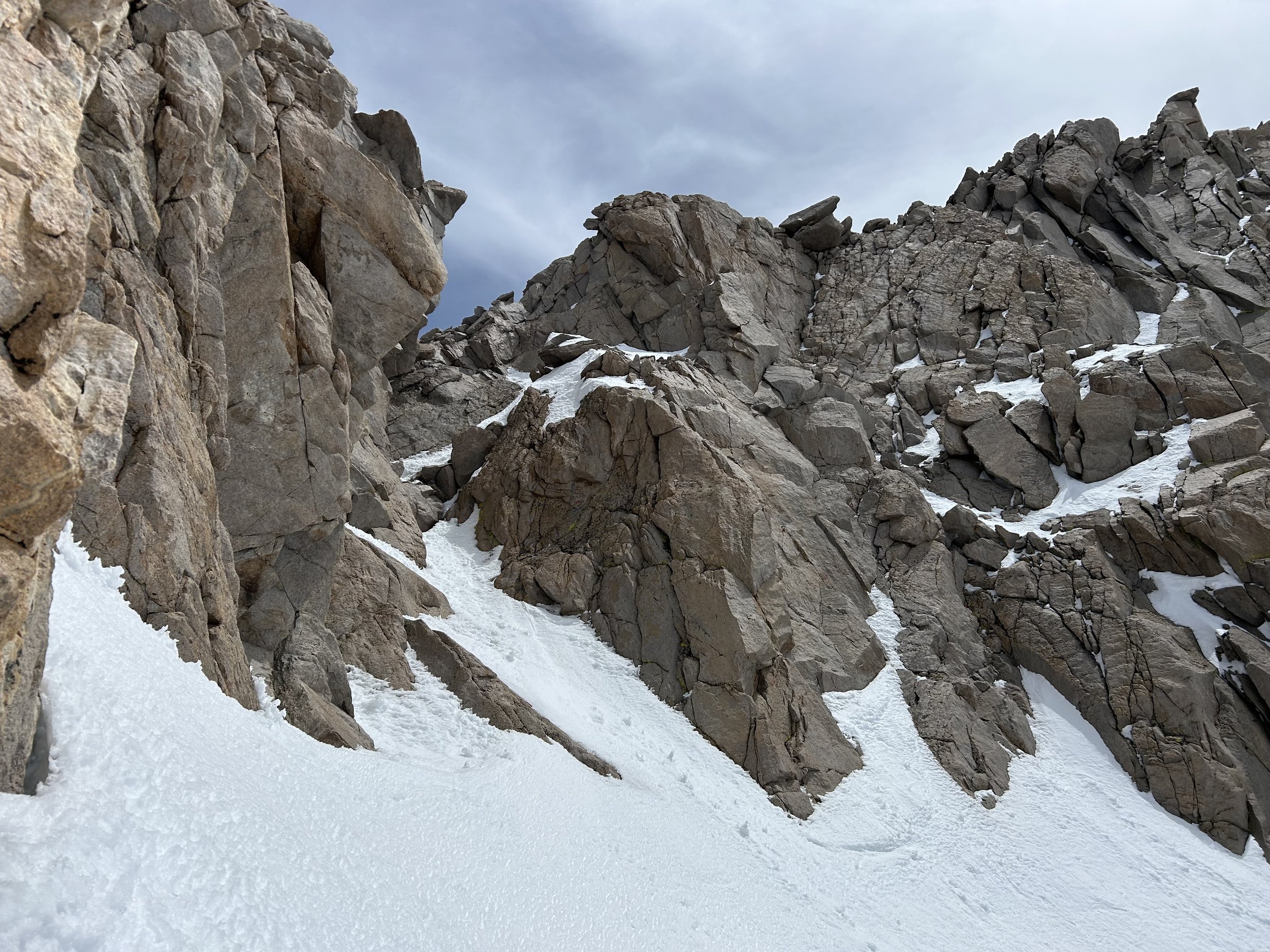
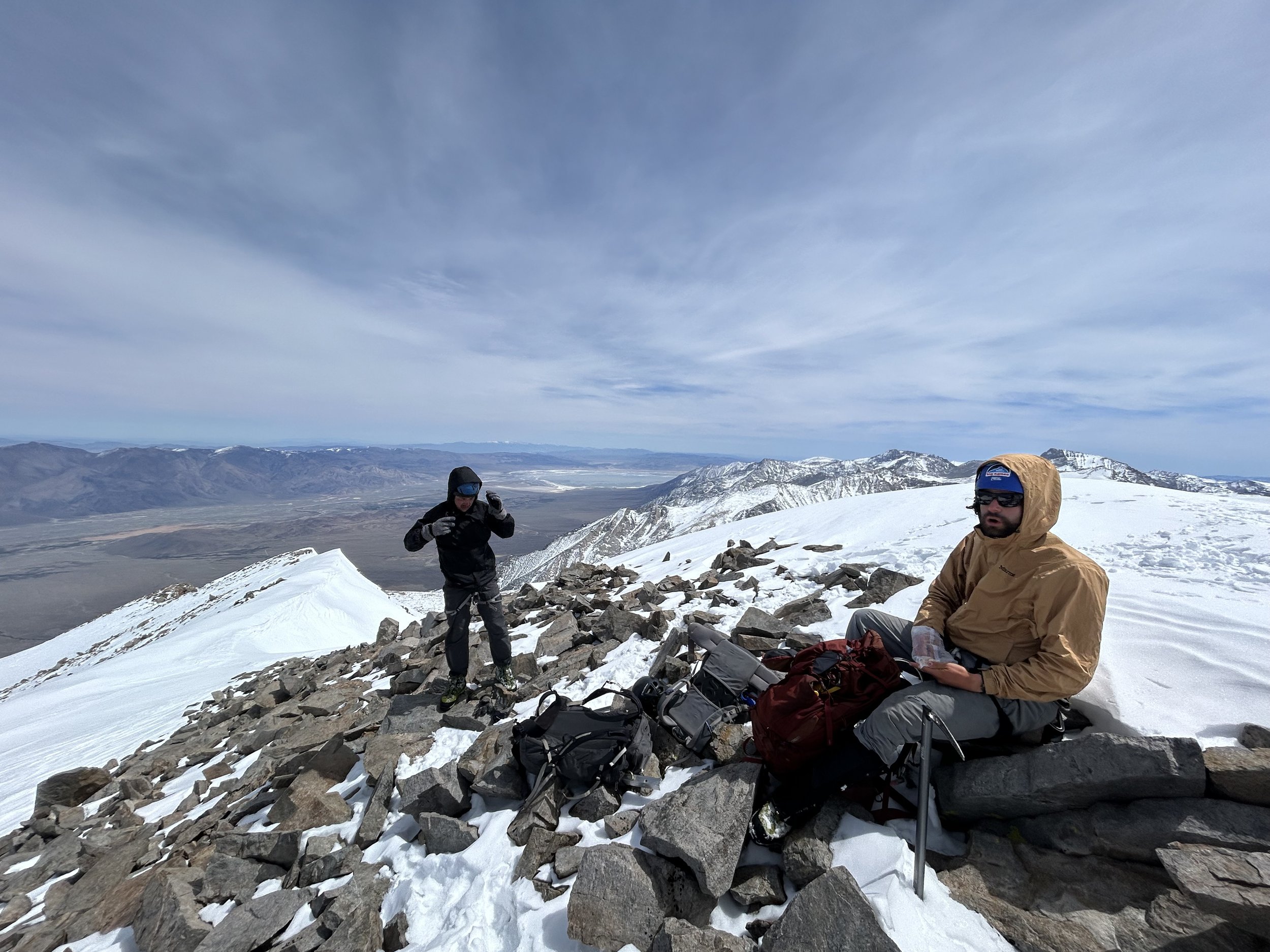
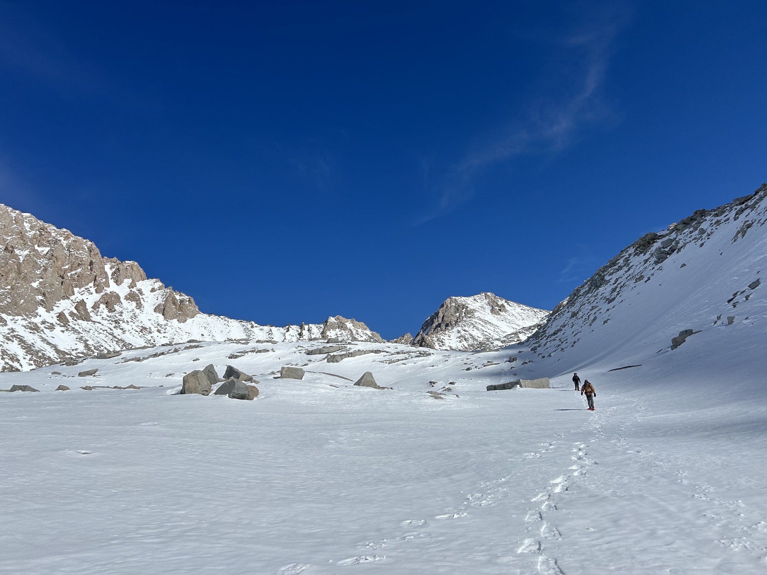
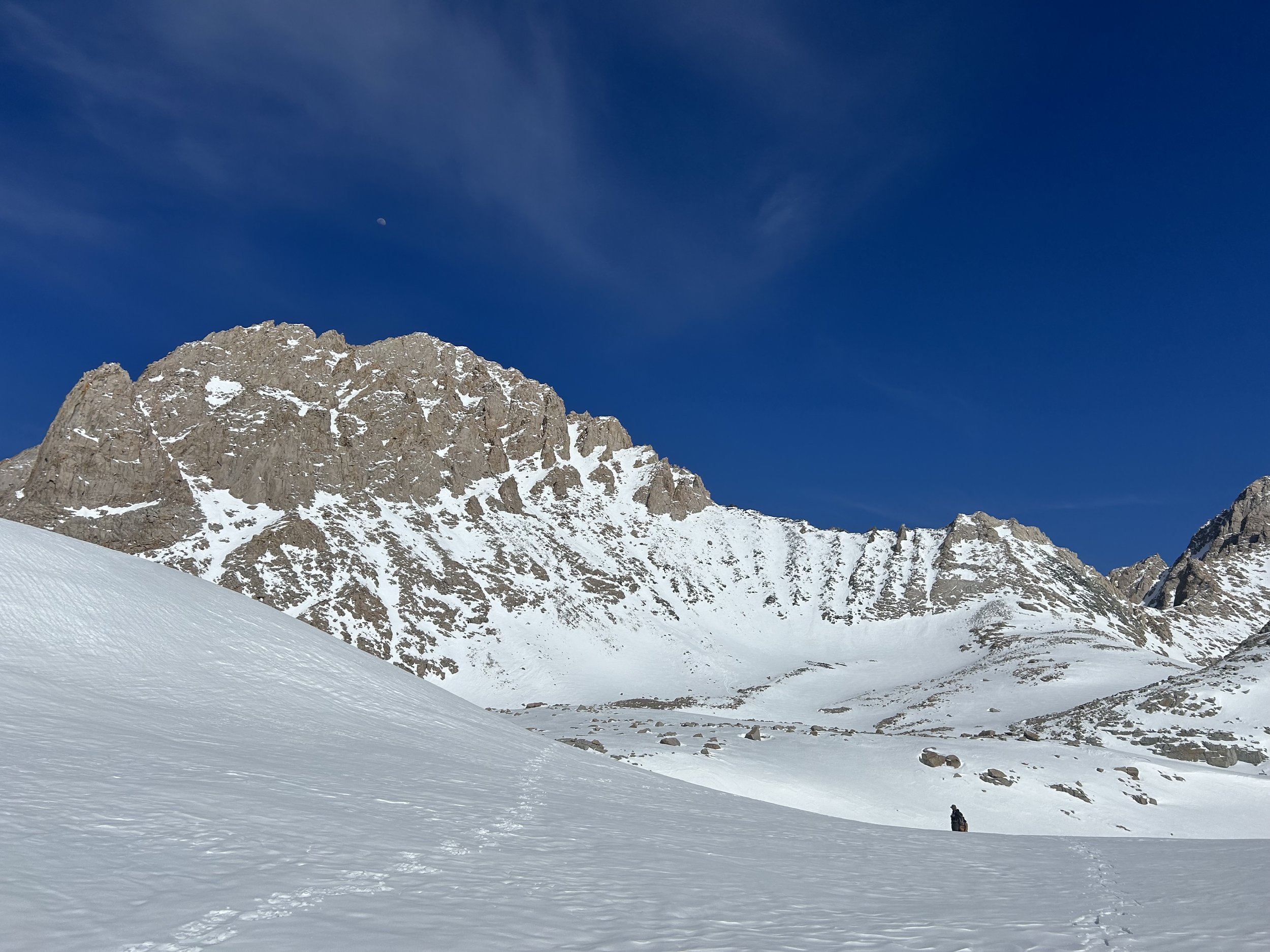
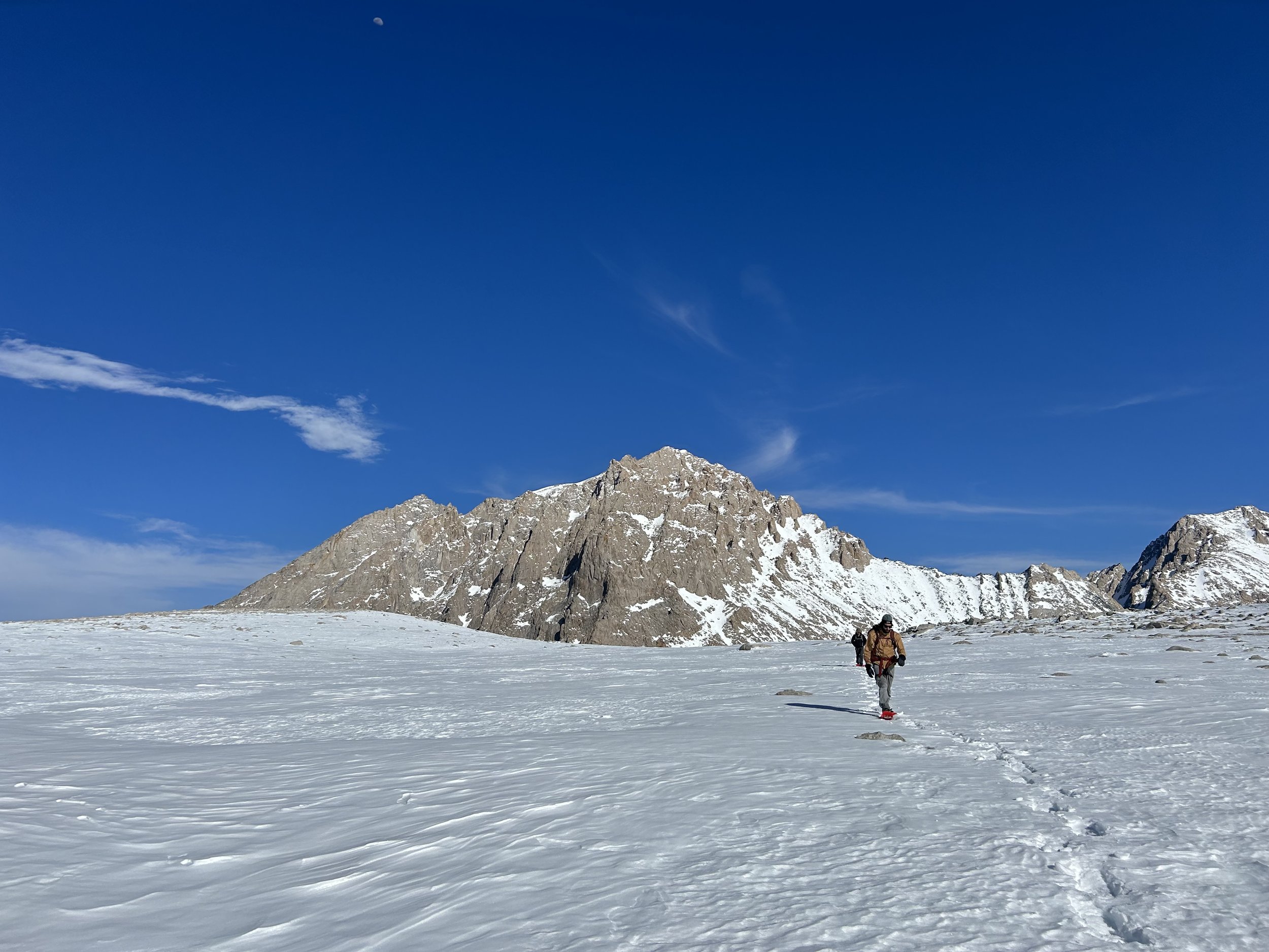
After a good break and a morale-boosting high-five, we began traversing the vast snowfields of the Williamson Bowl. The travel was smooth, and by 9:00 AM we stood at the base of the West Ridge at 12,600’. We tested the snowpack, and while it still felt more “winter” than “spring,” it looked stable enough. We pressed on.
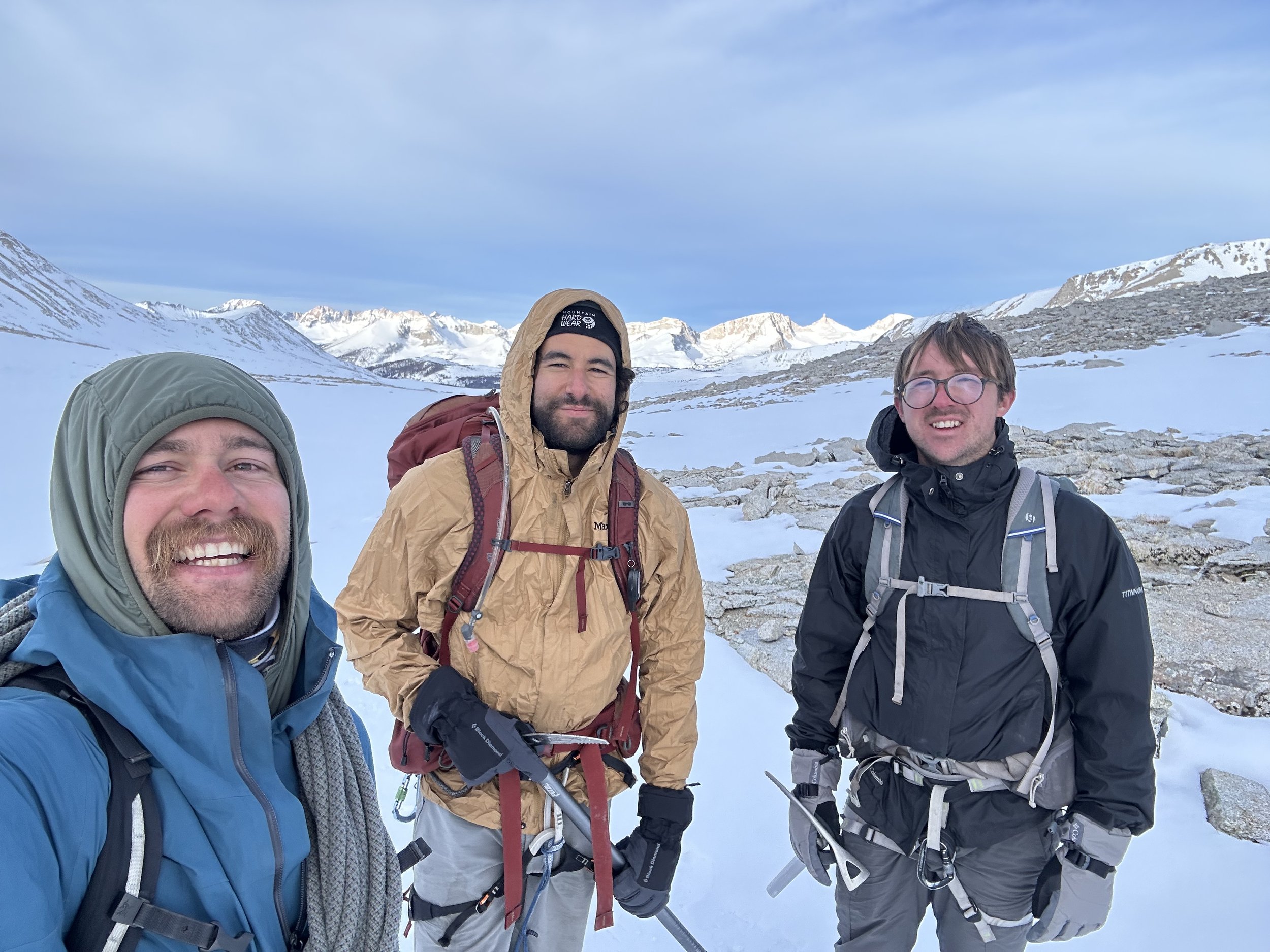
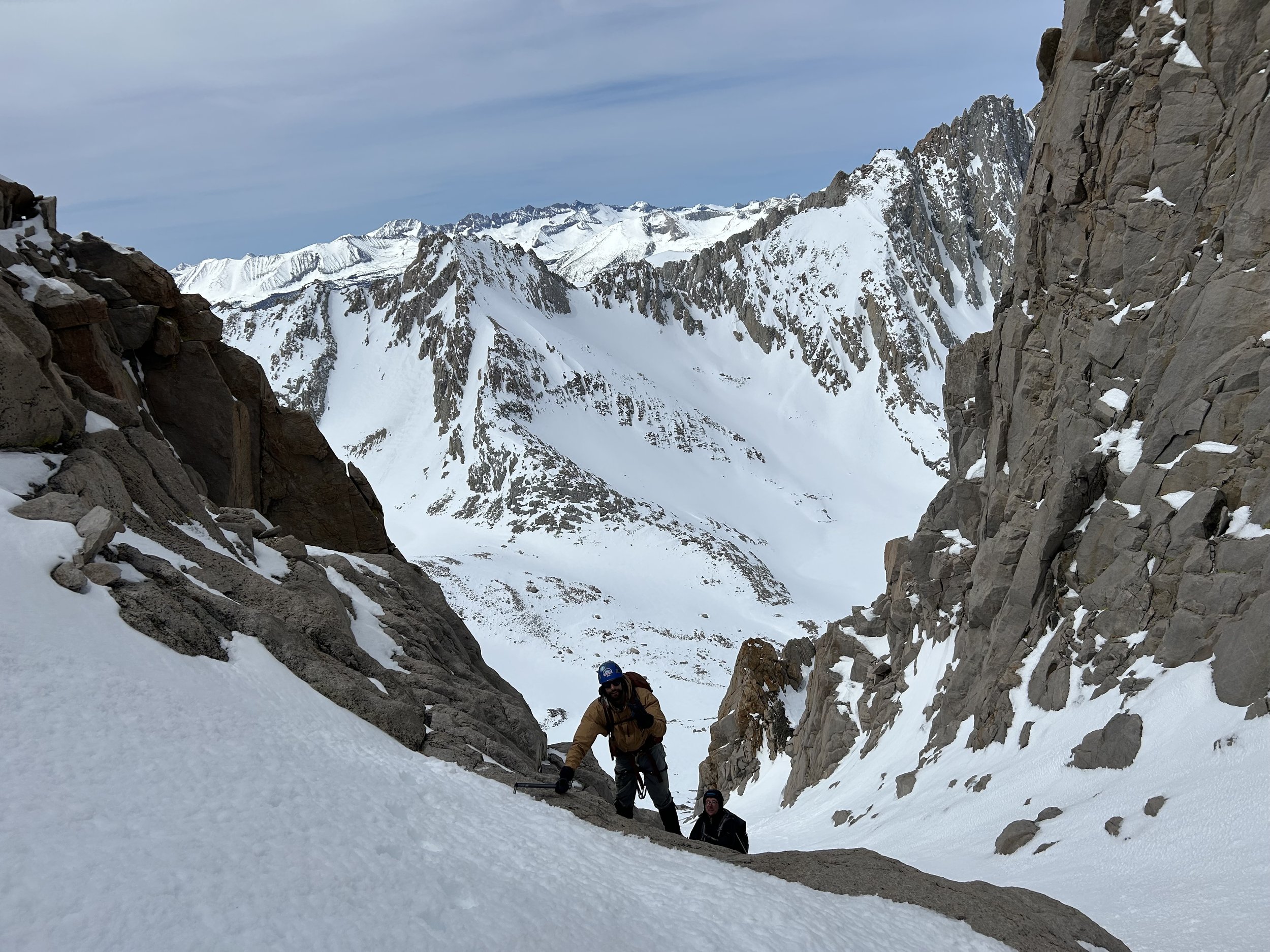
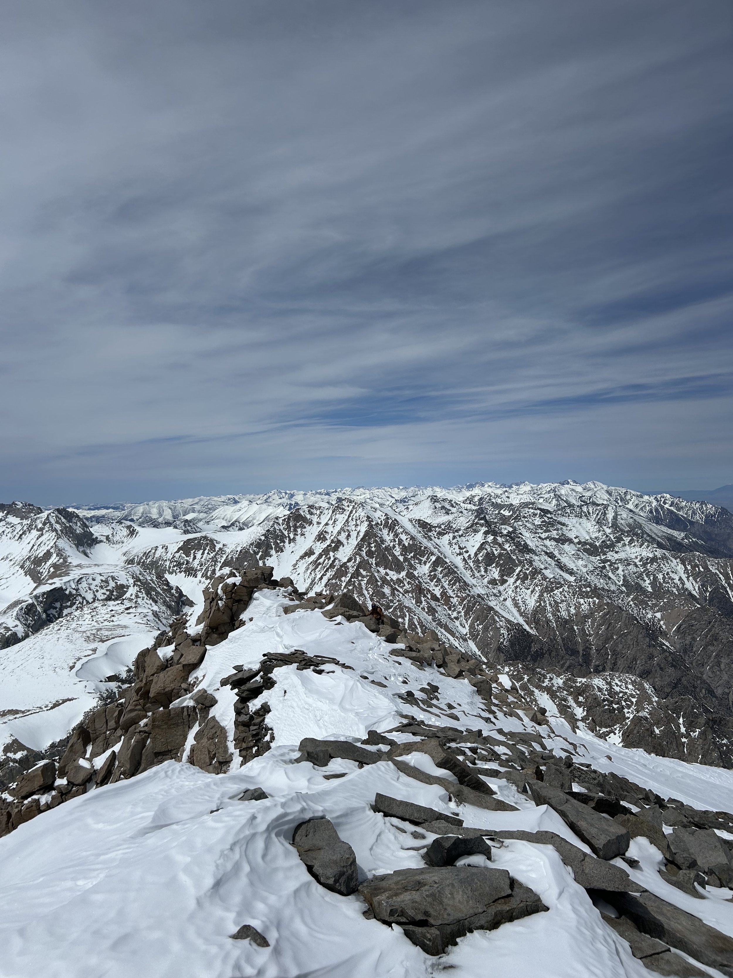
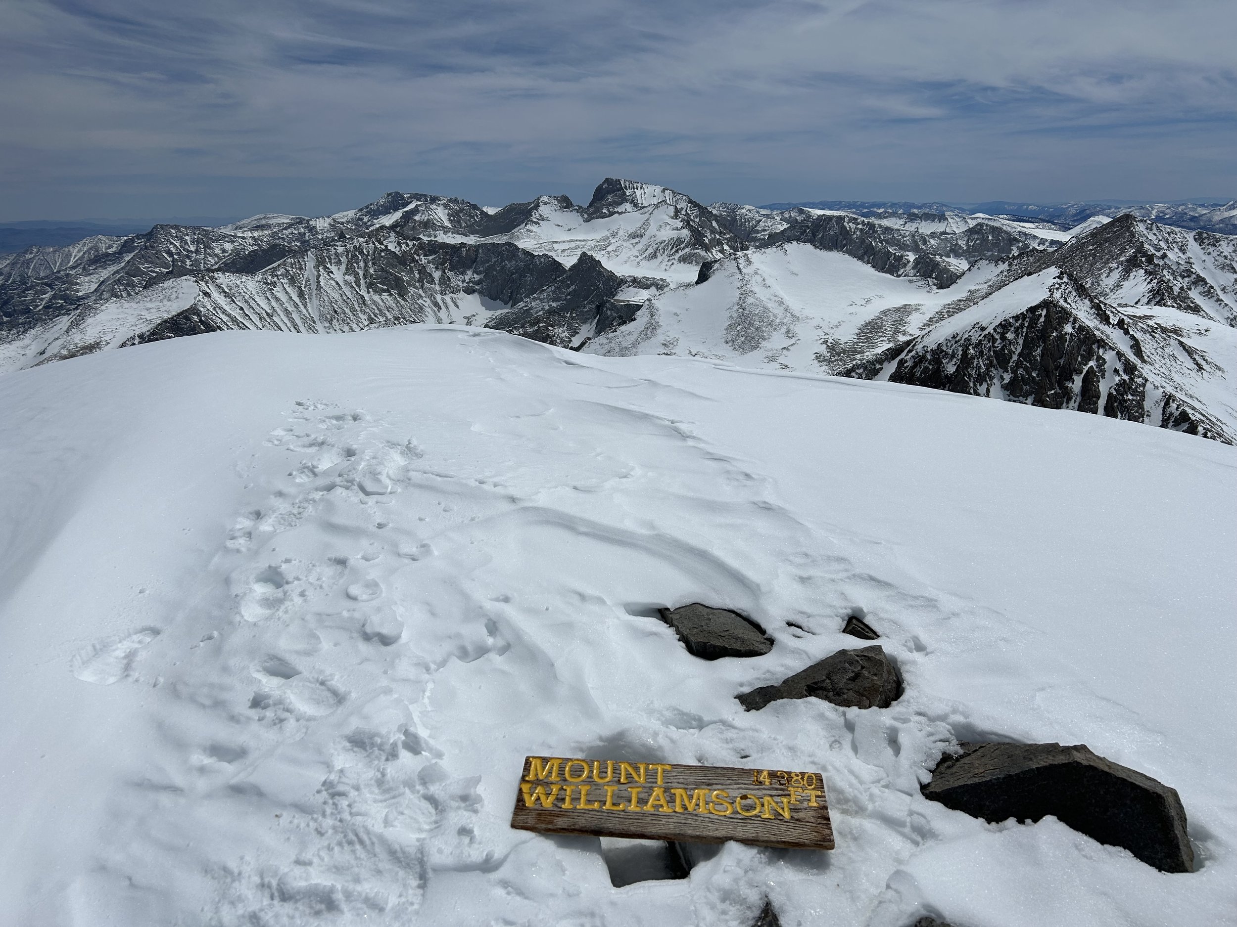
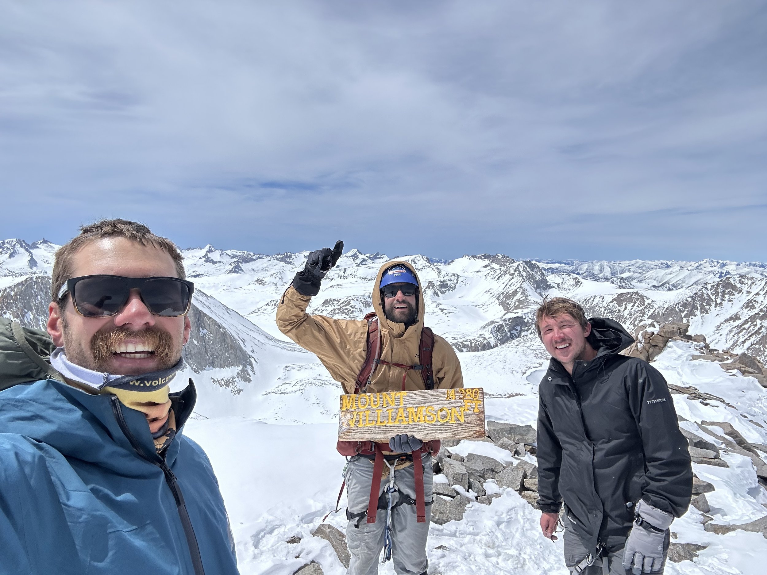
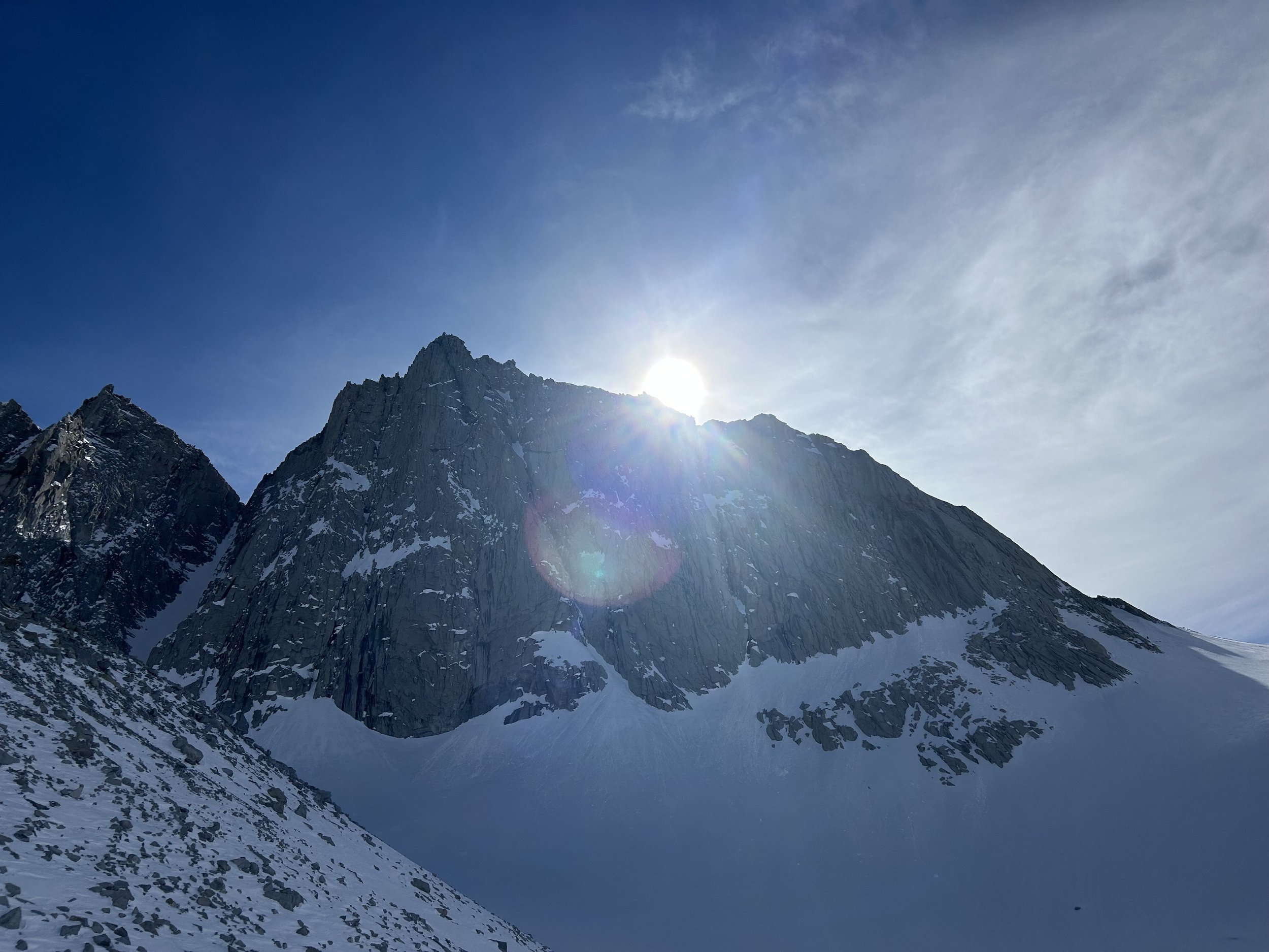
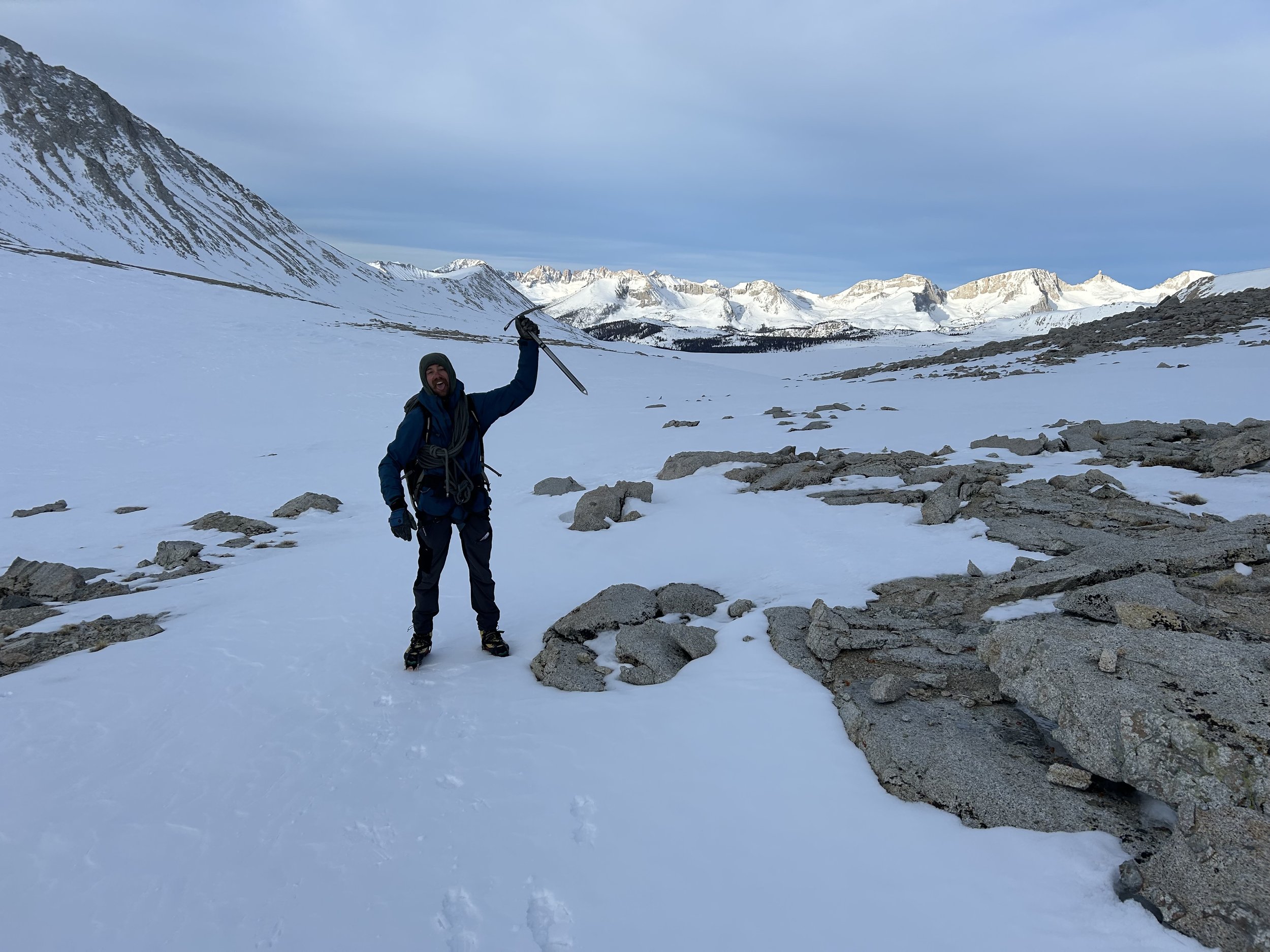
By noon, we reached 14,000’. Just one last obstacle stood between us and the summit: a short, icy third-class chimney. I soloed the final stretch, set a belay anchor, and brought Jackson and Max up safely. At 1:00 PM, all three of us stood atop Mount Williamson—ecstatic, wind-whipped, and grateful. Jackson’s sunglasses even snapped at the summit—casualties of the cold!
The Descent
After snacks and summit photos, we began our 4,000’ descent. I lowered the crew down the icy chimney, then we began plunge-stepping our way down the West Ridge. That’s when Max had his moment—a quick, seven-foot unintentional slide that thankfully ended safely, thanks to the sticky wet snow and a good terrain belay.
Once that excitement passed, we made good time back to camp, retracing our ascent in just 45 minutes. At the top of Shepherd Pass, we hit some late-day ice again, so we strapped crampons back on and carefully descended. The evening brought soft, sloppy snow—back into snowshoes we went. By 4:00 PM, we were back at camp. Miso soup has never tasted so good.
Taco Dreams
That night, we laughed like only people can after sharing a big experience. The day felt surreal—13 hours, a 14er summit, and plenty of memories. Our conversations inevitably turned to the next day’s descent… and tacos.
April 17 – Down and Out (physically, not figuratively!)
We woke, packed up, and cruised downhill, moving twice as fast as our way up. Gaining oxygen and losing altitude, we blitzed back through the canyon, reaching the trailhead by afternoon.
By 4:00 PM, we were seated roadside in Independence, devouring street tacos in a valley still watched over by Mount Williamson. It was the perfect end to a perfect mission.
Final Thoughts
Mount Williamson tested us, thrilled us, and gave us one of those rare days you remember forever. For Jackson and Max—newer to mountaineering—it was a powerful introduction. For me, it was a reminder of how rewarding these big peaks can be, especially when shared with good friends.
Next stop? Maybe those Mexican volcanoes we keep talking about… I’ve still got unfinished business down there.
Thanks for reading! If you are interested in climbing Williamson, Tyndall, or anything similar, please reach out!
See you in the mountains,
Larry